


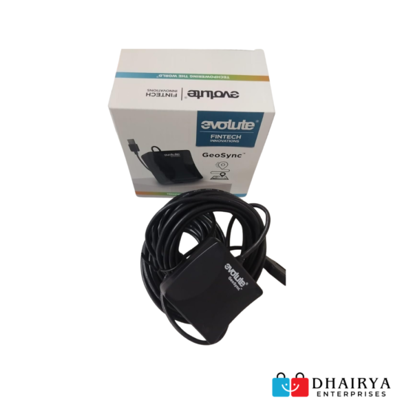
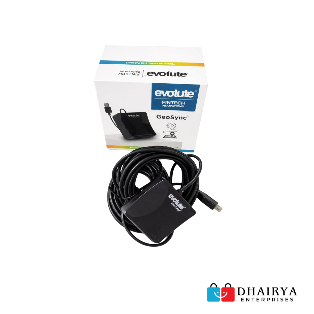
Evolute GPS GeoSync A1 GPS Navigation Device (Black)
₹5,500.00 ₹4,500.00 (18% off)
Product Overview
The Evolute GeoSync A1 GPS Navigation Device is a high-precision GNSS GPS receiver specially designed for Banking CSPs, Aadhaar Centers, AEPS operators, Micro ATM services, and financial institutions. Equipped with NavIC (Indian Navigation System) and multi-constellation satellite support, it delivers accurate geo-location verification required for banking compliance and secure transaction processing.
Its rugged design, USB plug-and-play connectivity, and sub-meter positioning accuracy make it an ideal solution for field operations and fixed banking service points.
Key Features
✅ Supports India’s NavIC (IRNSS) Satellite System
✅ Dual-Band GNSS Reception (L1 & L5)
✅ USB Plug & Play Connectivity
✅ High Precision Location Verification
✅ Compatible with Banking CSP Applications
✅ Supports GPS, GLONASS, Galileo, BDS & QZSS
✅ LED GPS Status Indicator
✅ Low Power Consumption
✅ Rugged IP-Rated Housing
✅ Suitable for Aadhaar & Banking Applications
✅ Fast Hot Start & Cold Start Performance
✅ Reliable Operation Across India
Products
-

Morpho MSO 1300 E2 Fingerprint Scanner For Sbi Bank
₹4,000.00₹1,950.00 (51% off) -
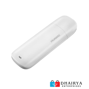
Huawei E1732 Unlocked 3G USB Dongle (Refurbished – Used & Tested)
₹1,500.00₹850.00 (43% off) -
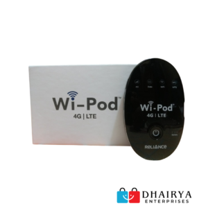
Reliance Wi-POD 4G Unlocked WiFi Hotspot (New)
₹3,000.00₹2,200.00 (27% off) -
JioFi JDR740 Wireless 4G Portable Router (Refurbished – Used & Tested)
₹2,400.00₹1,450.00 (40% off) -
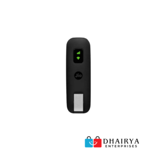
Jio JD810 4G USB Dongle (Refurbished – Used & Tested)
₹2,500.00₹1,700.00 (32% off)
| Specification | Details |
|---|---|
| Brand | Evolute |
| Model | GeoSync A1 |
| Color | Black |
| Connectivity | USB 2.0 Type-A |
| Frequency | NavIC L5 (1176.45 MHz), GPS L1 (1575.42 MHz) |
| Supported Bands | Dual Band L1 & L5 |
| Satellite Systems | GPS, NavIC, GLONASS, Galileo, BDS, QZSS |
| Satellite Reception | Up to 72 Satellites |
| Communication Protocol | NMEA 0183 |
| Baud Rate | 115200 bps |
| Power Supply | 5V DC |
| Current Consumption | Max 45mA |
| Cold Start Time | 30–40 Seconds |
| Hot Start Time | Approx. 4 Seconds |
| Operating Temperature | -35°C to 80°C |
| Protection Rating | IP6X |
| Visual Indicator | LED GPS Status Indicator |
| Cable Length | 3m / 6m |
| Accuracy | Sub-Meter Accuracy |
| Warranty |
Manufacturer Warranty |
Applications
Banking CSP Services
- Bank of Baroda (BOB)
- Bank of Maharashtra (BOM)
- Central Bank of India (CBI)
- UPGB CSP Centers
- AEPS Transactions
- Micro ATM Operations
Aadhaar Services
- Aadhaar Enrollment
- Aadhaar Authentication
- eKYC Verification
Other Applications
- Asset Tracking
- Vehicle Navigation
- Survey & Mapping
- Location Verification
- Government Service Centers
Package Contents
- 1 × Evolute GeoSync A1 GPS Receiver
- USB Connection Cable
- User Documentation
Why Choose Evolute GeoSync A1?
The Evolute GeoSync A1 is built specifically for organizations that require accurate geo-location verification. With support for India’s NavIC satellite system and multiple global satellite networks, it provides dependable positioning, fast signal acquisition, and stable performance in both urban and rural environments. Its plug-and-play functionality ensures quick deployment without complex installation procedures.
FAQ – Evolute GPS GeoSync A1 GPS Navigation Device (Black)
Q1. What is the Evolute GPS GeoSync A1 used for?
Answer: Evolute GeoSync A1 is primarily used for Banking CSPs, AEPS services, Aadhaar centers, Micro ATM operations, and geo-location verification applications.
Q2. Does Evolute GeoSync A1 support NavIC?
Answer: Yes, the device supports India’s NavIC (IRNSS) satellite navigation system along with GPS, GLONASS, Galileo, BDS, and QZSS.
Q3. Is the device compatible with banking applications?
Answer: Yes, it is widely used with various banking and financial service applications that require accurate geo-tagging and location verification.
Q4. How is the device connected to a computer?
Answer: The device connects through a USB interface and works as a plug-and-play GPS receiver.
Q5. Does the device require external power?
Answer: No, it is powered directly through the USB port of the connected computer or terminal.
Q6. What satellite systems are supported?
Answer: The device supports GPS, NavIC, GLONASS, Galileo, BeiDou (BDS), and QZSS satellite constellations.
Q7. Can it be used for Aadhaar services?
Answer: Yes, Evolute GeoSync A1 is suitable for Aadhaar enrollment, authentication, and eKYC applications where GPS verification is required.
Q8. What is the positioning accuracy of the device?
Answer: The device offers high-precision positioning with sub-meter level accuracy under optimal conditions.
Q9. Is driver installation required?
Answer: Most systems detect the device automatically. However, some applications may require specific drivers or configuration as recommended by the software provider.
Q10. Does the device have a status indicator?
Answer: Yes, an LED indicator is provided to show GPS signal and operational status.
Q11. Is the device suitable for outdoor use?
Answer: Yes, its rugged construction and GNSS technology make it suitable for both indoor and outdoor deployment.
Q12. What comes inside the package?
Answer: The package generally includes the Evolute GeoSync A1 GPS Receiver, USB cable, and user documentation.
| Weight | 500 g |
|---|---|
| Dimensions | 10 × 10 × 10 cm |
You must be logged in to post a review.

Related products
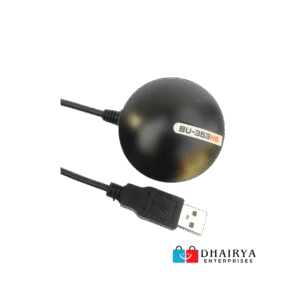
Globalsat G-Star BU-353N5 Aadhaar GPS Tracker – USB GPS Receiver for RD Devices & Biometric Authentication
 Evolute GPS GeoSync A1 GPS Nav...
₹5,500.00 ₹4,500.00 (18% off)
Reviews
There are no reviews yet.